Geolayers Travel Route Animation
Geolayers Travel Route Animation
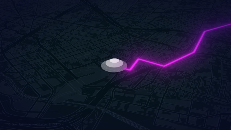
“Let the world know the trails you have Walked, Crossed or flown over. “
What’s included:
- Fly Over Animation: Breathtaking aerial views that engage and impress.
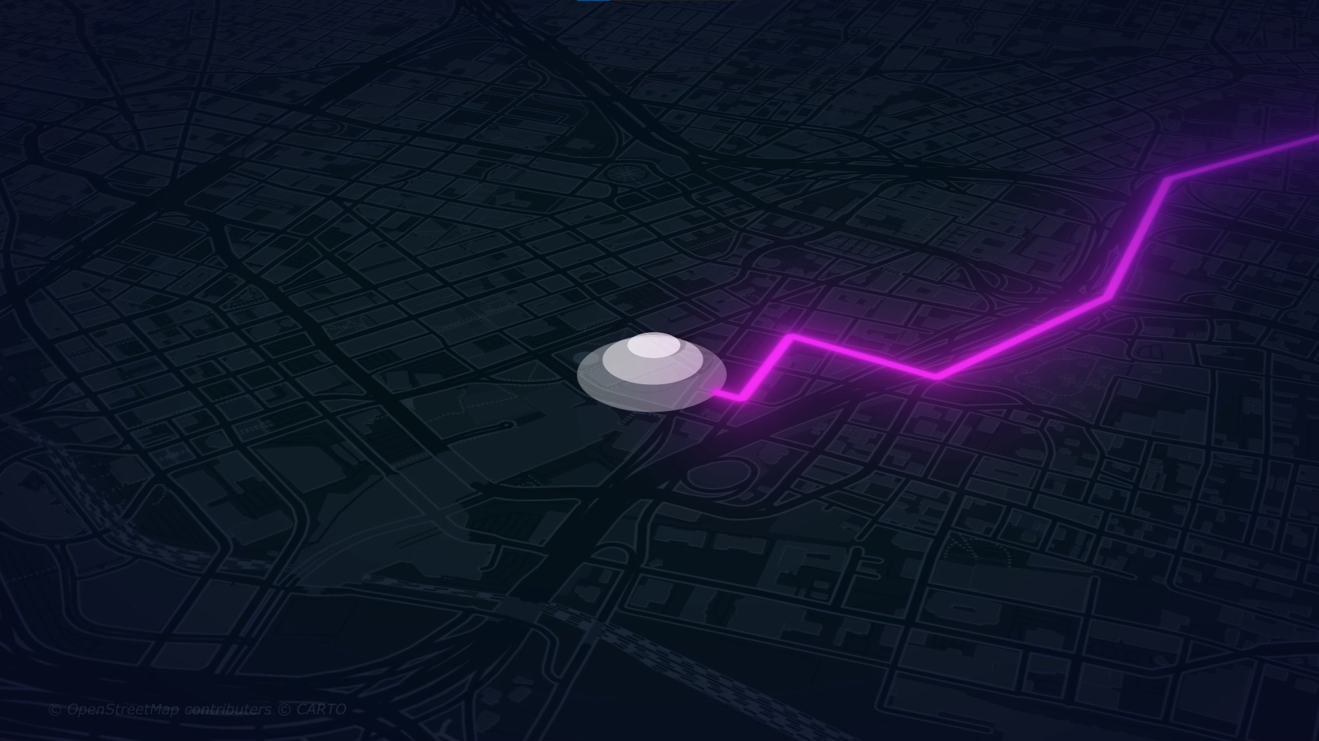
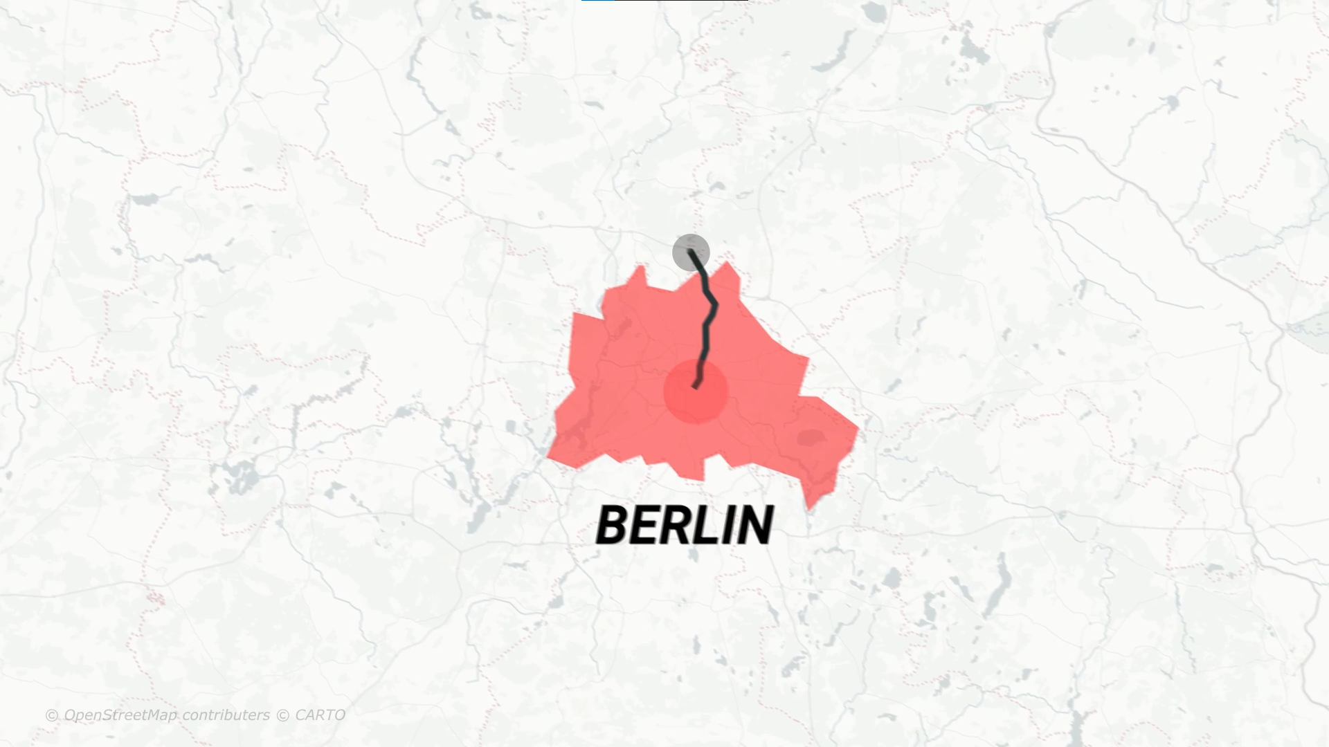
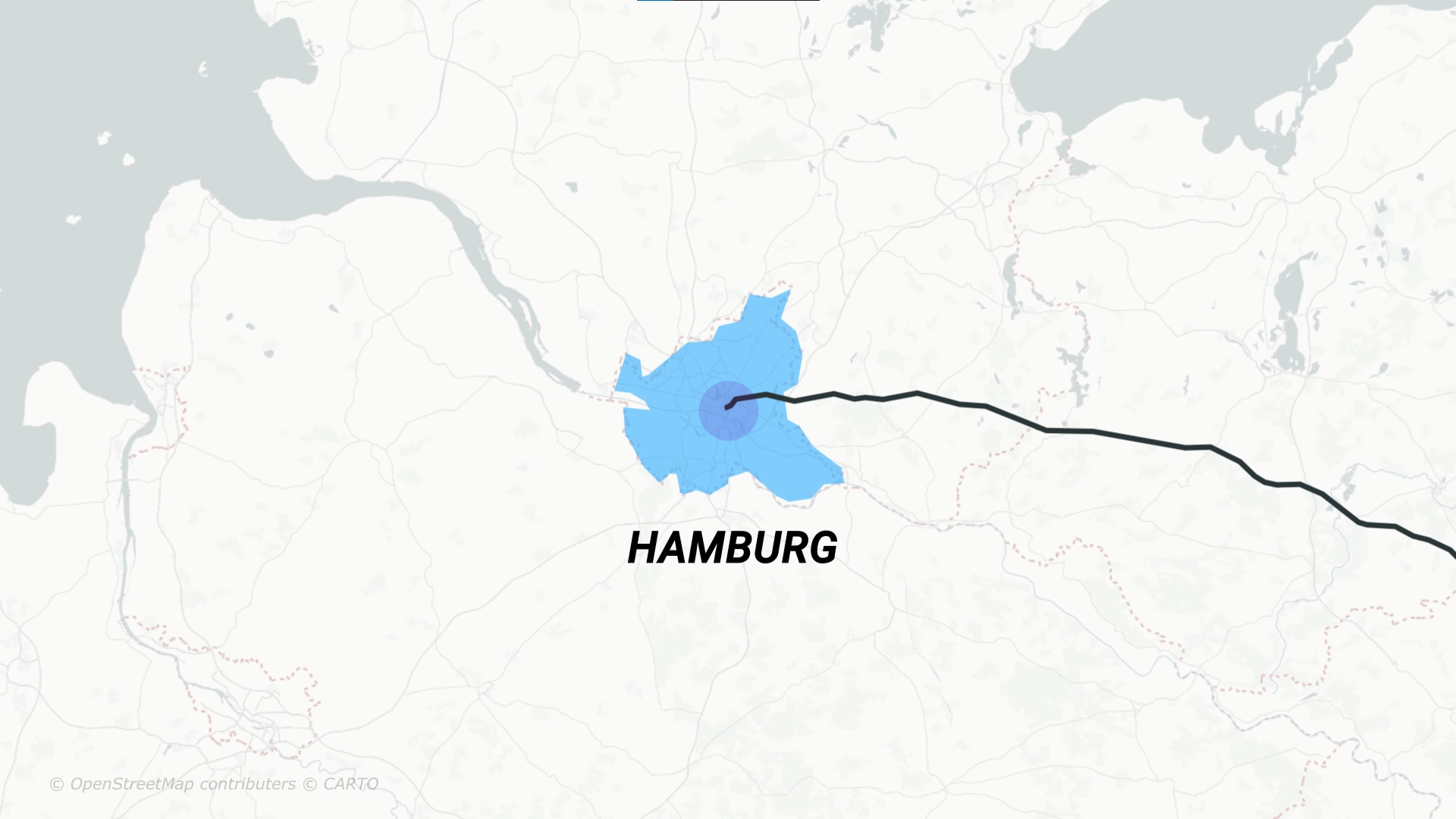
- 2D Route Animation: Showcase routes effectively with clean, easy-to-follow visuals.
- 3D Markers: Highlight key points in a stunning three-dimensional space.
- Call Outs: Concise annotations for clear information delivery.
- Digital Counter: Showcase statistics dynamically.
- Elevation Charts: Showcase the elevation of the geography you have traversed.
- Custom GPX Routes: Best for seasoned travelers, runners, bikers.
- Custom KML Routes: Showcase your custom KML routes efficiently.
“”I was very pleased with Deepesh’s performance on this project. I will use again!””
Eddie
Real Estate Strategist
What is Geolayers?
What kind of Animation can be done?
Licensing Terms?
Any Questions in mind?
Client Details
Eddie, Real Estate Marketing Strategist
Service Provided
Custom KML Routes, GPX Routes, Labels,Digital Counter, Elevation Charts, Call Out Labels
Project Timeline
Subject to Agreement
Our Other Projects
- Website Hero
- Virtual Property Tours
- 3D Fireball Animation
- Cinematic Video
- Route Animation
- Race Track Animation
- Drone Fly-Over Animation
- Social Media Content
- Geolayers Geopolitical Documentary
- Drone Video Editing Services
- Map Animation
- Geolayers Travel Route Animation
- 3d Sliced Landscape
- Infographic Animation
- 3d Globe Animation
- Race Animation with Tracked Data
- Timeline and Data Animation
- Real Estate MarketPlace Website
- Real Estate Branding Services
- Real Estate Website to App
- Real Estate Video Editing
- Real Estate Social Media Marketing

Deepesh Kumar Nirmalkar
Hi there, I am seasoned Map Animation and Motion Artist 😎. Internet Technologies, Science, 3D, Geography fascinates me🤩. This website is very close and dear to me and is one of my personal projects - Guruji8Earth 😍. I aim to bring the power of map animation to everyone either through rendering my services or narrating / sharing stories that involve geographical map animation 🌍.
