Geolayers Race Animation With Tacked Data
Geolayers Race Animation With Tacked Data
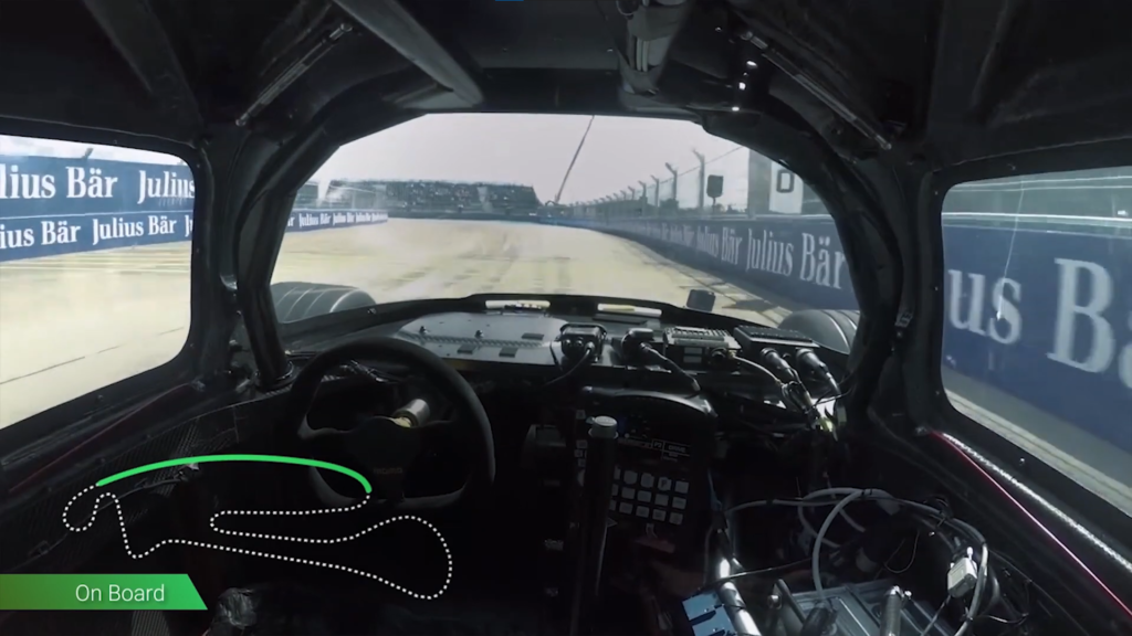
“Race ahead with animated data—Guruji8earth’s Geolayers Race Animation with Tracked Data transforms statistics into a visually dynamic journey.”
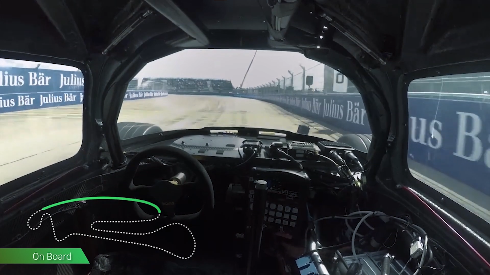
I will create race track visualization which exactly matches onboard footage, handle features with time information.
The footage features robo race looking at onboard data from one of their self driving cars.
What I will need from you:
Data spreadsheet which contains
- Longitude
- Latitude
- Coordinate Time
- Any Time Values
- GPX Files from your Apps/Trackers
- Boundary CSV of the race track
What you will get:
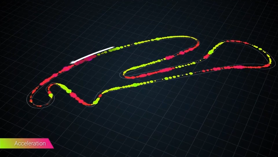
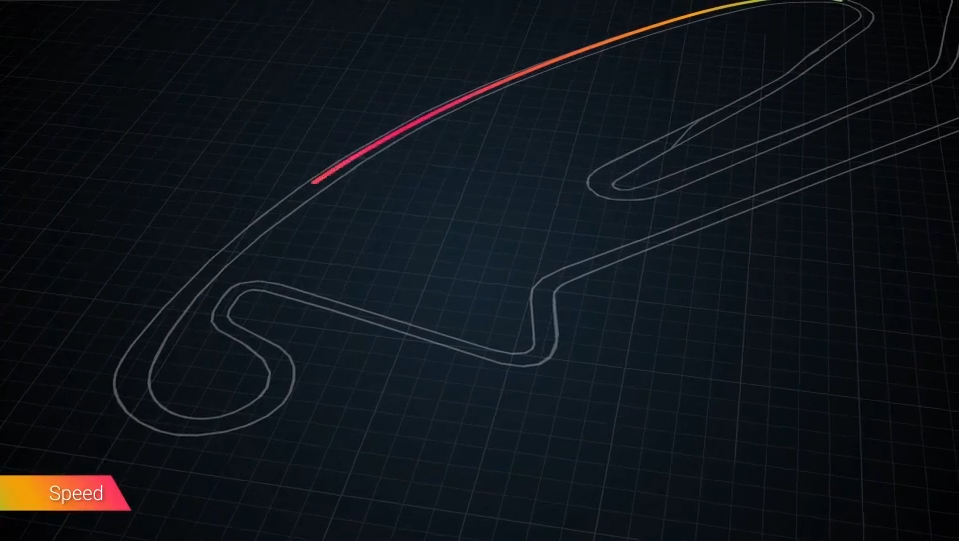
- Footage with Race Track HUD
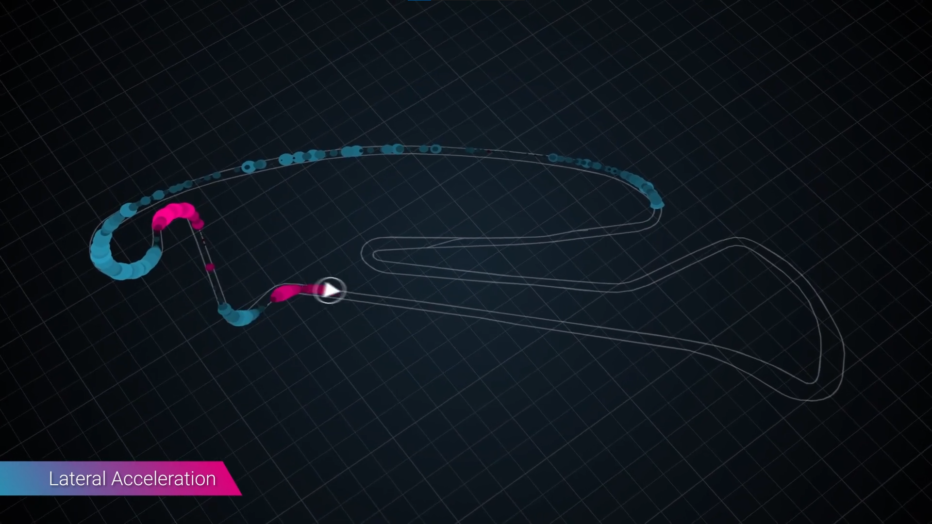
- Acceleration Heatmap of Racing Data
- Speed Heatmap of Racing Data
- Velocity Heatmap of Racing Data
“”I was very pleased with Deepesh’s performance on this project. I will use again!””
Eddie
Real Estate Strategist
What is Geolayers?
What is Geolayers Race Animation with Tracked Data ?
Licensing Terms?
Any Questions in mind?
Service Provided
Tracked Data Race Animation
Project Timeline
Subject to Agreement
Our Other Projects
- Website Hero
- Virtual Property Tours
- 3D Fireball Animation
- Cinematic Video
- Route Animation
- Race Track Animation
- Drone Fly-Over Animation
- Social Media Content
- Geolayers Geopolitical Documentary
- Drone Video Editing Services
- Map Animation
- Geolayers Travel Route Animation
- 3d Sliced Landscape
- Infographic Animation
- 3d Globe Animation
- Race Animation with Tracked Data
- Timeline and Data Animation
- Real Estate MarketPlace Website
- Real Estate Branding Services
- Real Estate Website to App
- Real Estate Video Editing
- Real Estate Social Media Marketing

Deepesh Kumar Nirmalkar
Hi there, I am seasoned Map Animation and Motion Artist 😎. Internet Technologies, Science, 3D, Geography fascinates me🤩. This website is very close and dear to me and is one of my personal projects - Guruji8Earth 😍. I aim to bring the power of map animation to everyone either through rendering my services or narrating / sharing stories that involve geographical map animation 🌍.
