Drone Fly Over Animation
Drone Fly Over Animation Strategy
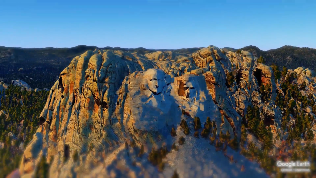
“Angle-Elevation-Pitch and Roll, We got it all..”
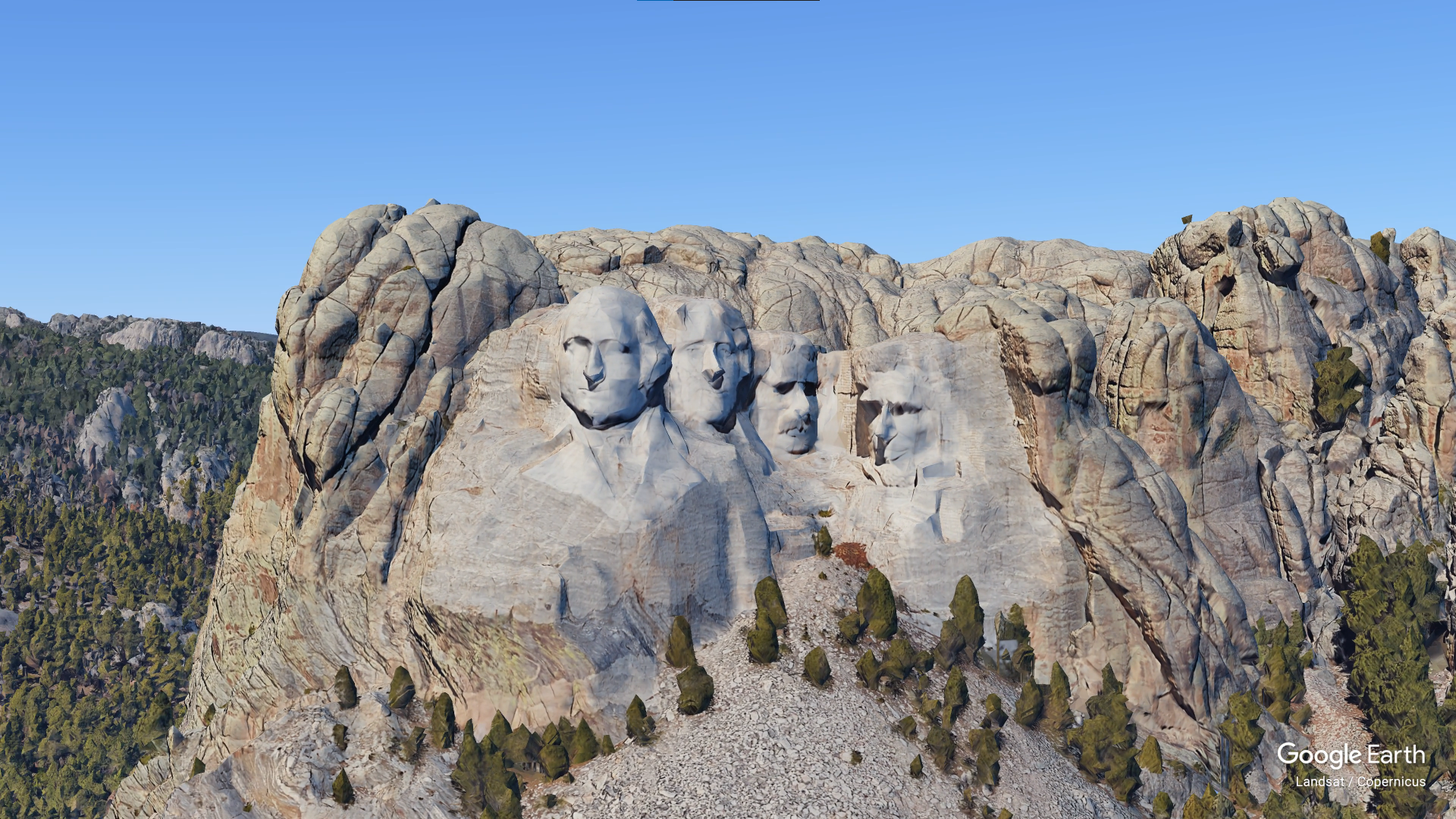
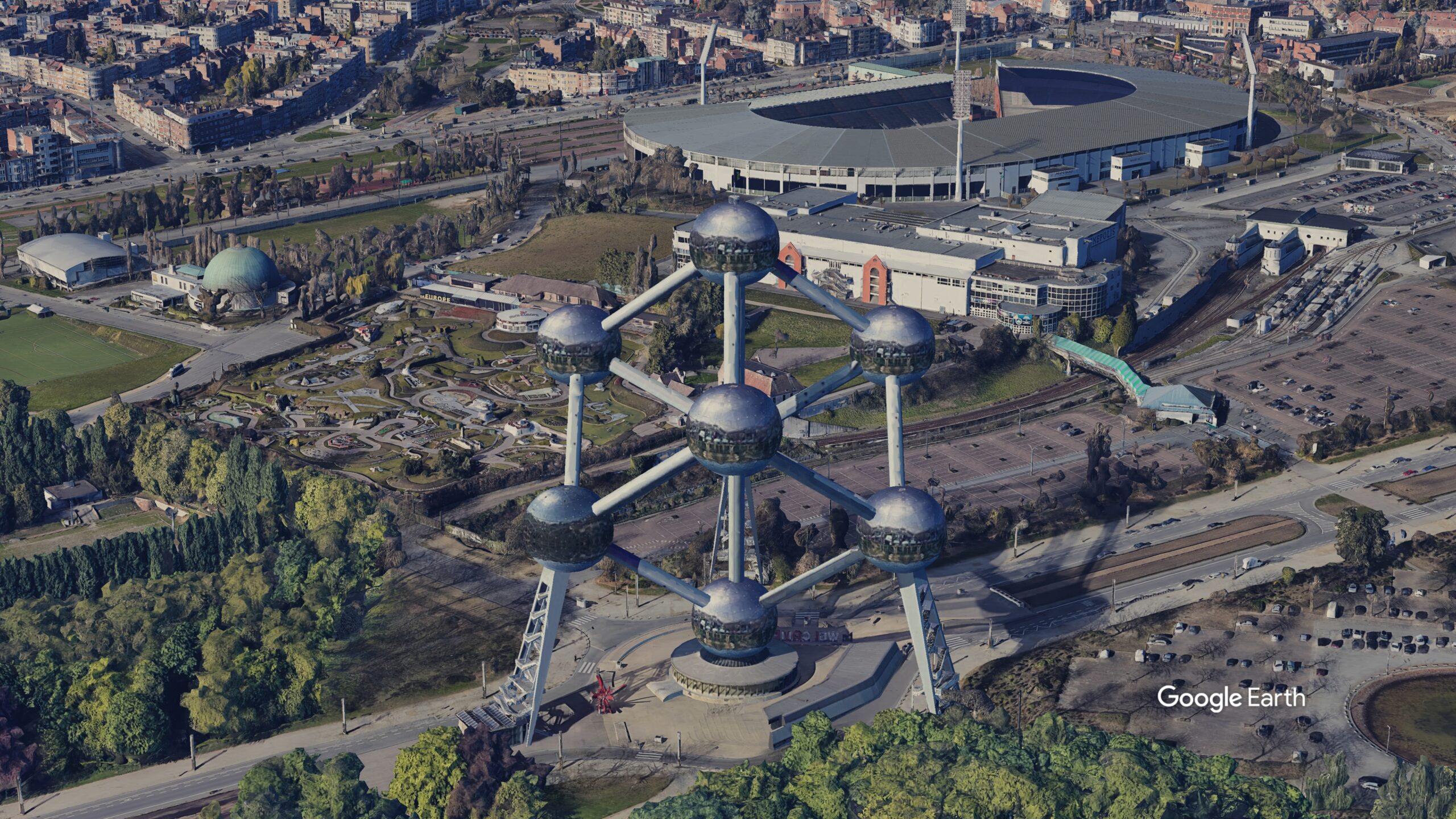
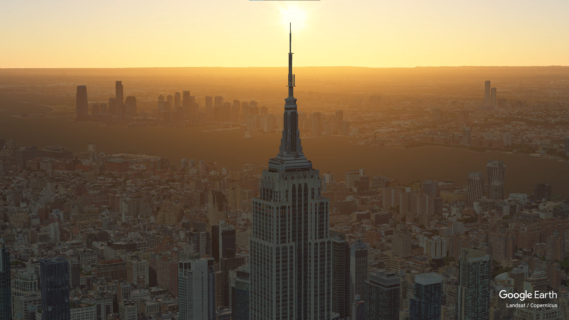
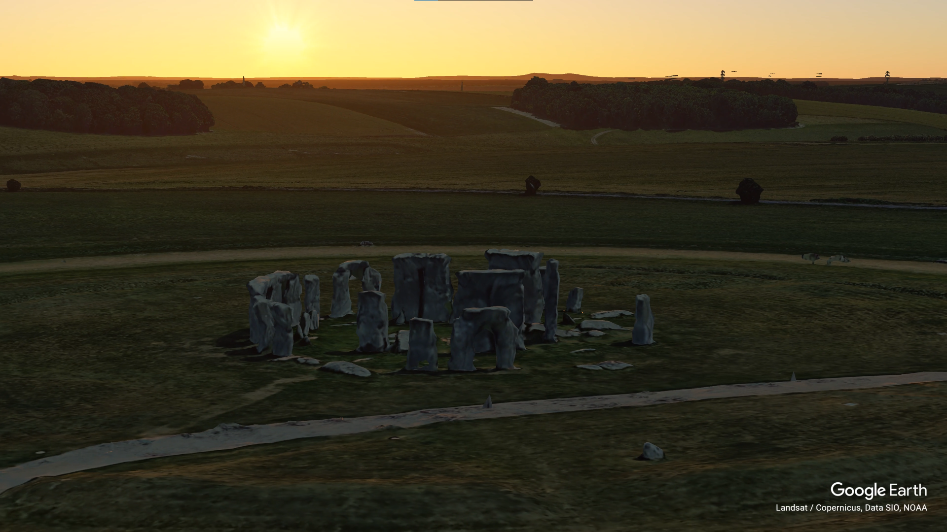
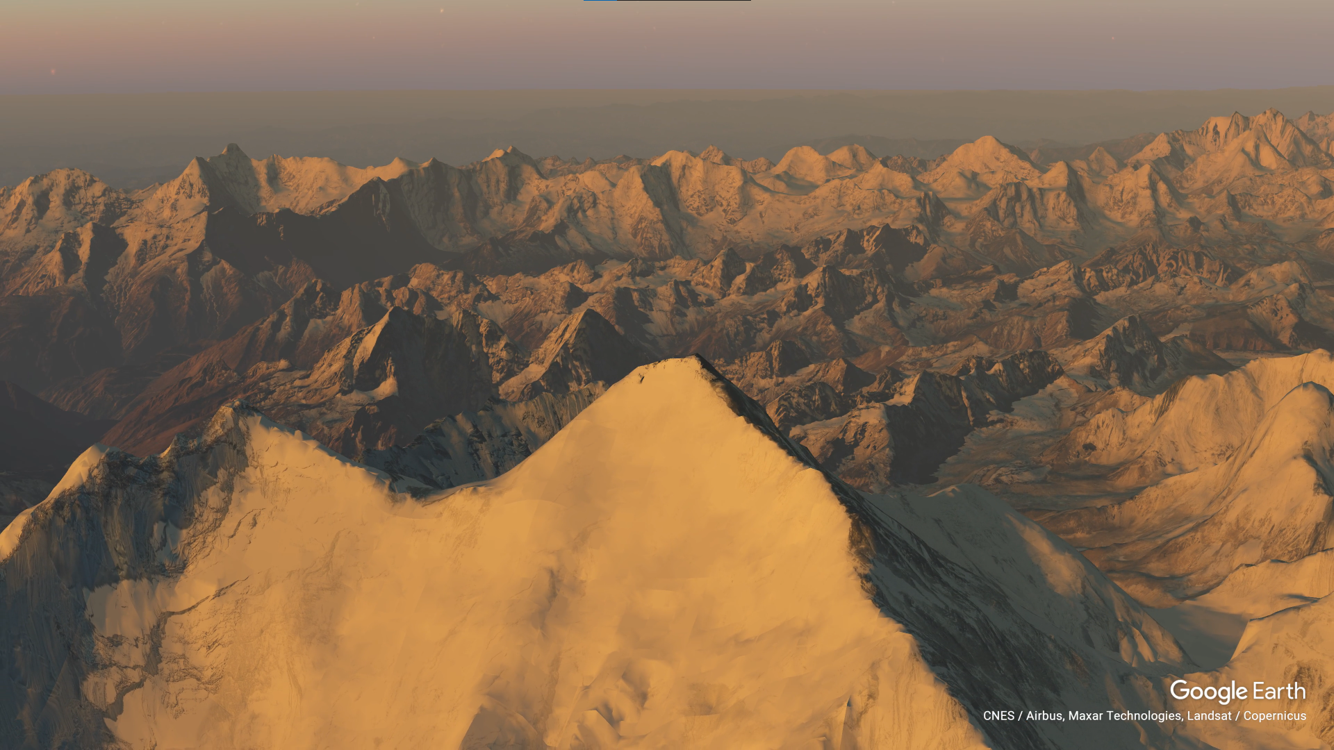
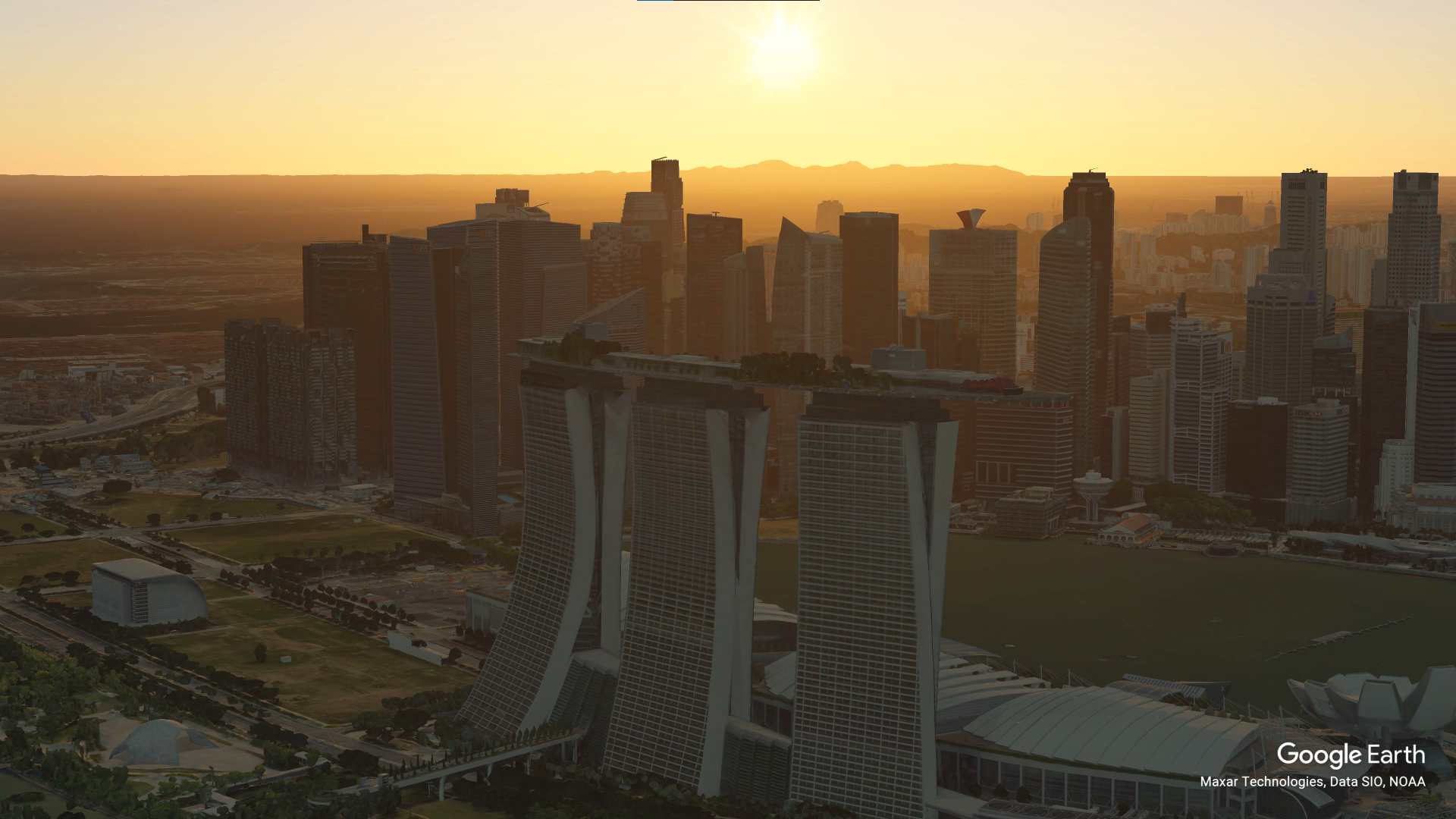
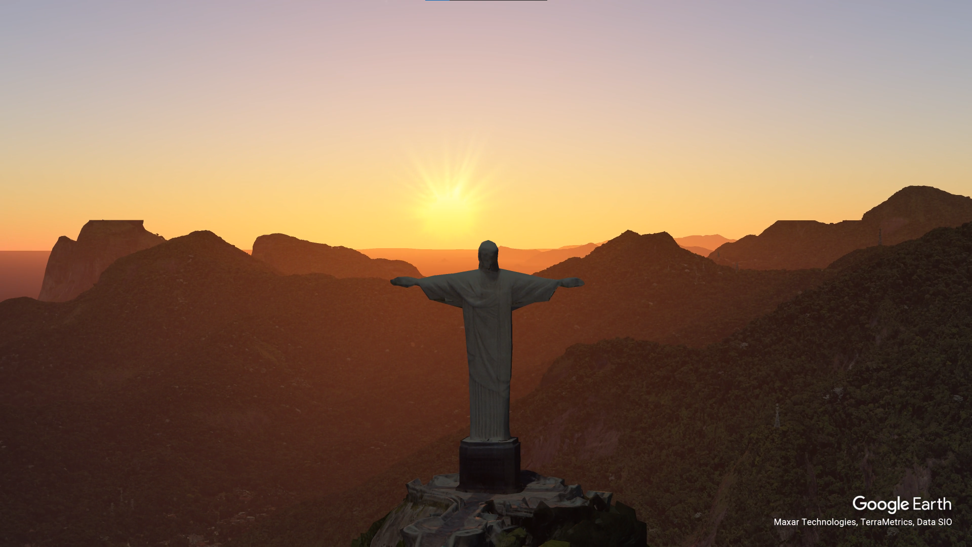
CUSTOMIZED GOOGLE EARTH 3D DRONE FLY OVER ANIMATION OF NATURAL LANDSCAPE, RESIDENTIAL AND COMMERCIAL BUILDINGS OF THE HIGHEST QUALITY️ .
Welcome to Google Earth Studio Drone Fly Over Animation
This service includes creating UNIQUE VISUALIZATIONS for various, which will provide an IMMERSIVE EXPERIENCE to the viewers .
It will best help
- Firms who want to establish their presence in Google
- Art Directors
- Content Creators
- Documentary Directors
- Tour and Travel Agencies
- Short Video Ads
- Teachers/Mentors of Physical Geography
- Students / Enthusiasts
What’s included
- Zoom-In
- Spiral
- Orbit
- Point to Point
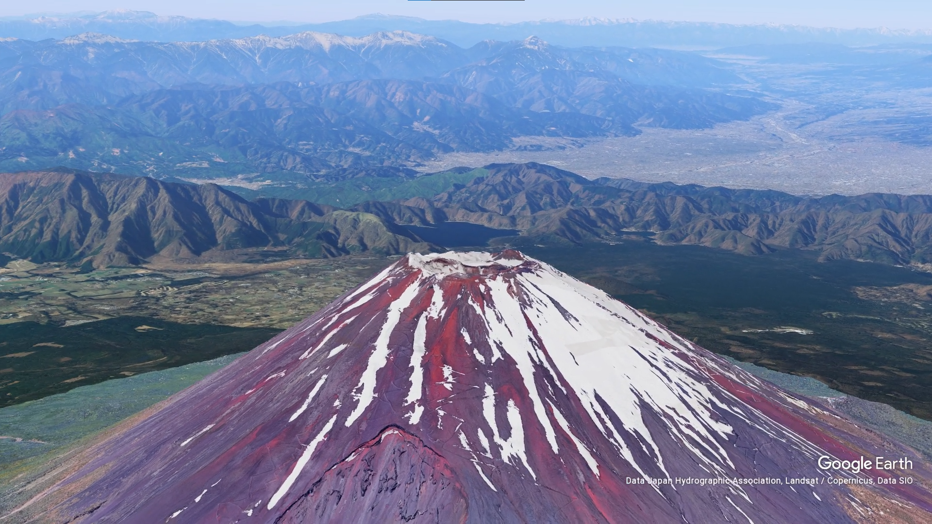
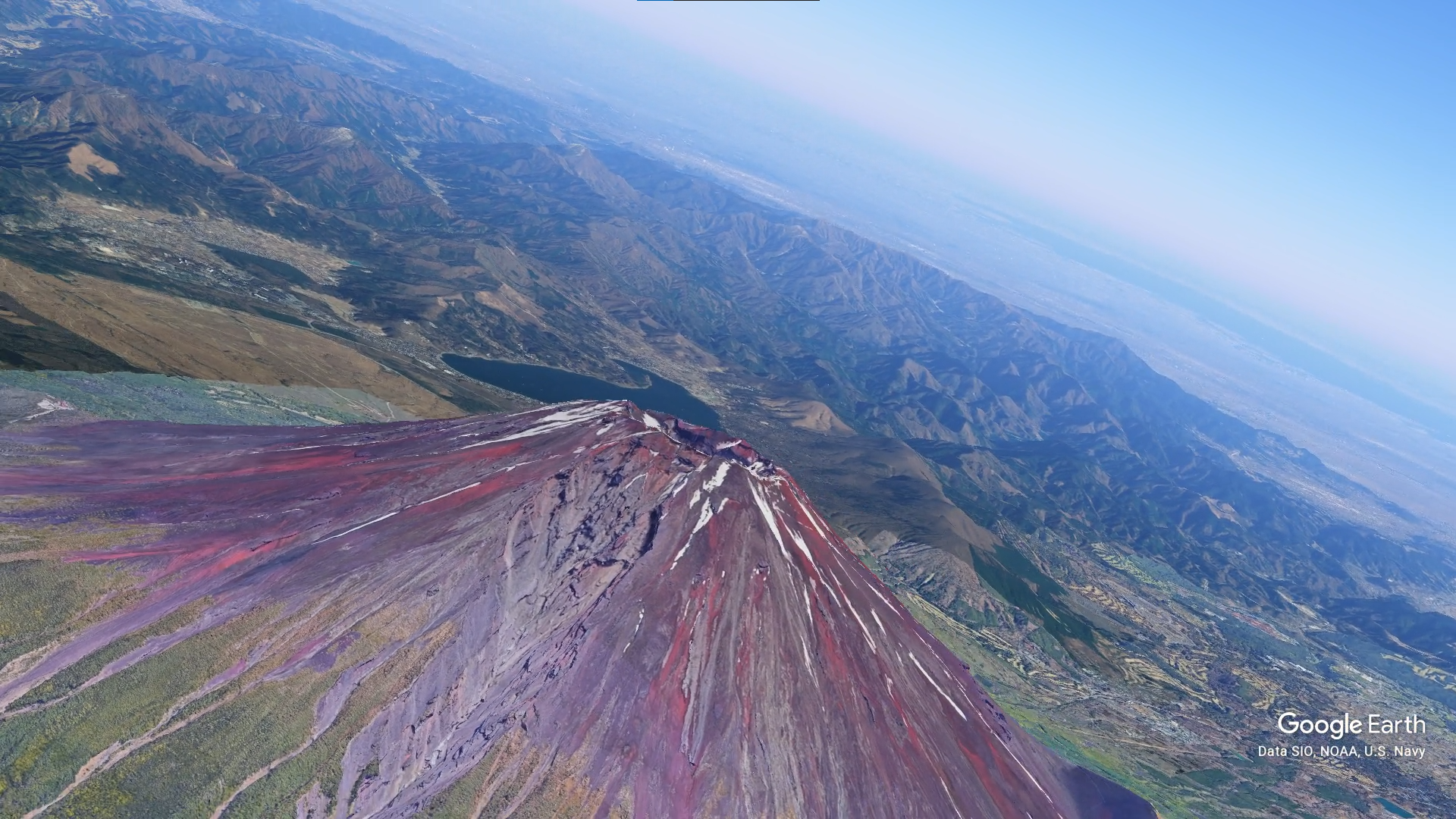
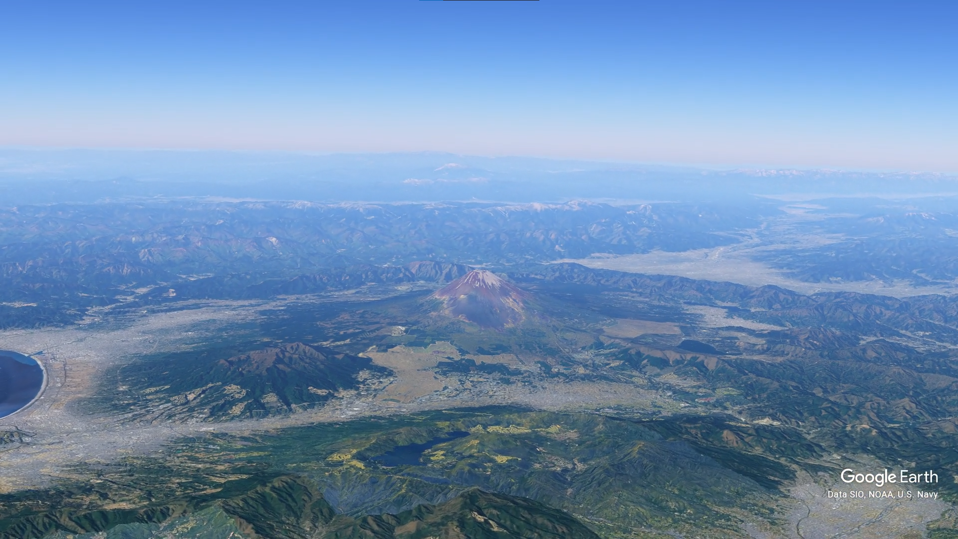
The Client Needed an Orbit Animation of Mount Fuji Located in Japan. He also wanted to showcase the location of his company nearby using the drone animation.
“Great work as always! 10/10 would recommend.”
Yash
Housetohomere
What is Google Earth Studio?
I don't know where to start
Will everything be available in 3d ?
How long will it take to complete the animation?
Can you provide revisions if I'm not satisfied with the final product?
Licensing Terms?
Service Provided
Location Research, Labels, Video Editing, Fly-Over Animation
Project Timeline
1 Day planning, and 3 Days for completion
Our Other Projects
- Website Hero
- 3D Fireball Route Animation
- Virtual Property Tours
- Cinematic Video
- Route Animation
- Race Track Animation
- Social Media Content
- Geopolitical Documentary
- Map Animation
- Geolayers Travel Route Animation
- 3d Sliced Landscape
- Infographic Animation
- 3d Globe Animation
- Race Animation with Tracked Data
- Timeline and Data Animation
- Real Estate MarketPlace Website
- Real Estate Branding Services
- Real Estate Website to App
- Drone Video Editing Services
- Real Estate Video Editing
- Real Estate Social Media Marketing

Deepesh Kumar Nirmalkar
Hi there, I am seasoned Map Animation and Motion Artist 😎. Internet Technologies, Science, 3D, Geography fascinates me🤩. This website is very close and dear to me and is one of my personal projects - Guruji8Earth 😍. I aim to bring the power of map animation to everyone either through rendering my services or narrating / sharing stories that involve geographical map animation 🌍.
